|
 |
Lane County Dwelling Replacement Rules/F-2 Zone (6/25/19)
Click here |
 |
Central Oregon musicians are lending a helping hand
By Brian McElhiney; The Bulletin. Oct 1, 2020
Click here |
 |
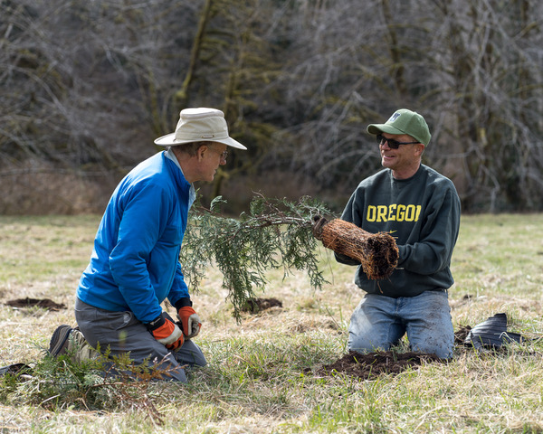
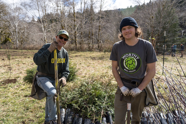
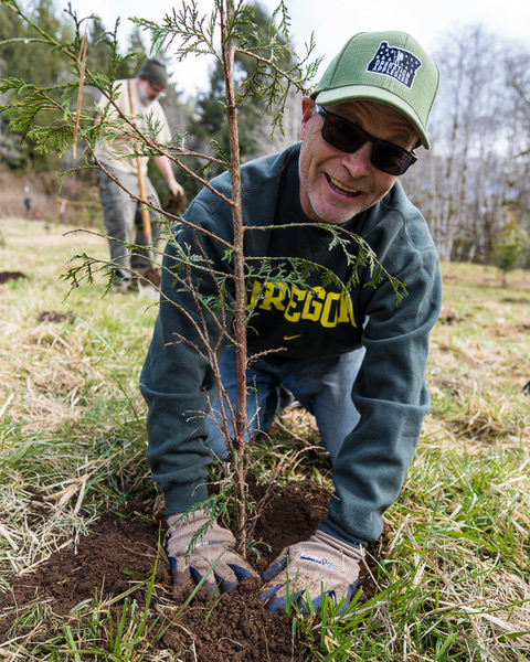
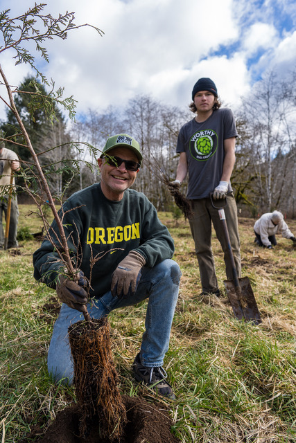
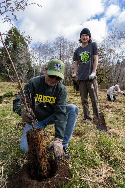
Seeing The Forest For The Trees
Worthy Brewing to host the Forest Revival Concert to see more trees planted and forests restored
BY Damian Fagan; Bend Source. Sept. 30, 2020
Click here |
--------------------------------------------------------------------------------------------------------------------------------------------------------------
--------------------------------------------------------------------------------------------------------------------------------------------------------------
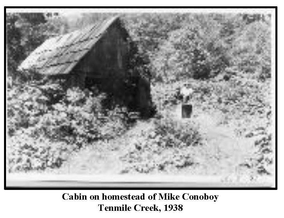
Hans Radtke. Ten Mile Creek Homesteaders and Early Settlers" (2017)
Click Here
|
(click on the images for a larger version)
|
| |
|
|
----------------------------------------------------------------------------------------------------------------------------------------
Click here for an interactive map of Ten Mile Creek.
---------------------------------------------------------------------------------------------------------------------------------------- |
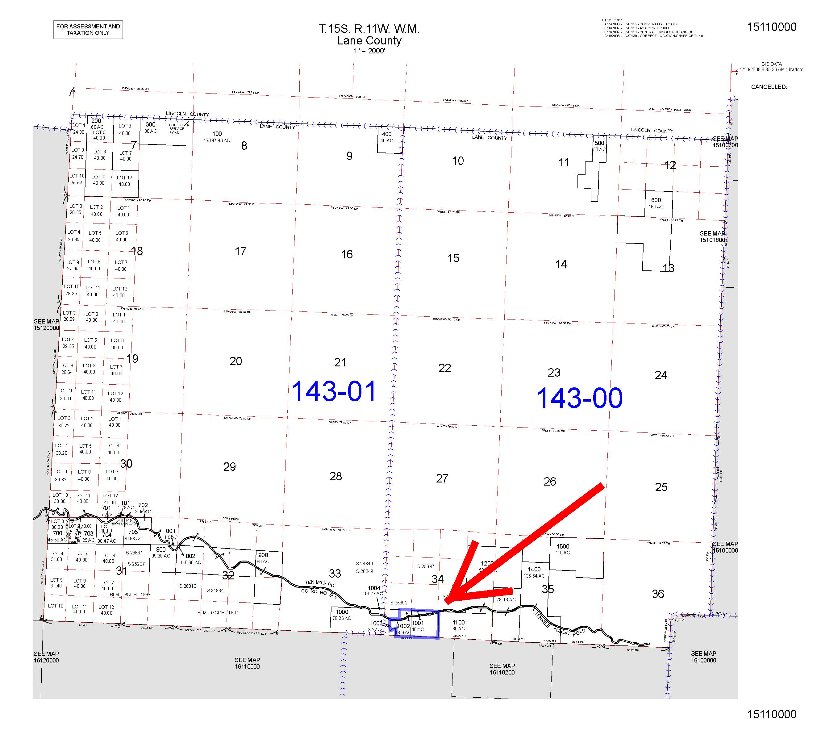
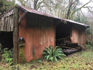
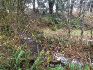
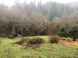
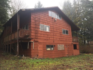
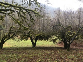
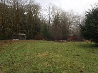
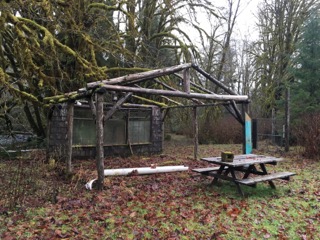
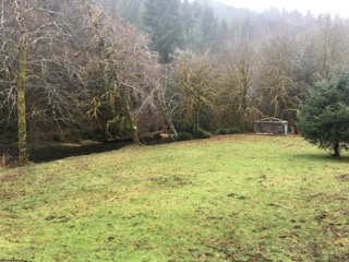
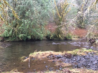
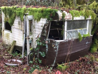
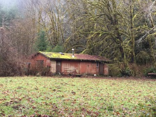
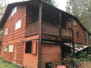
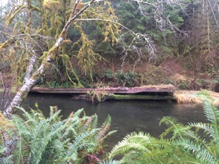
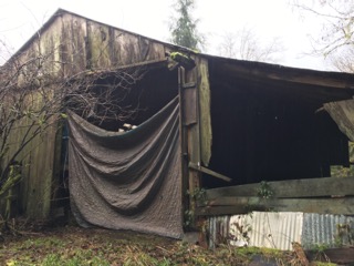
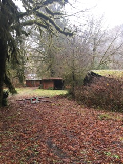
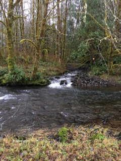
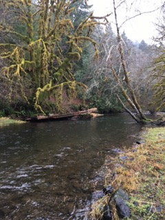
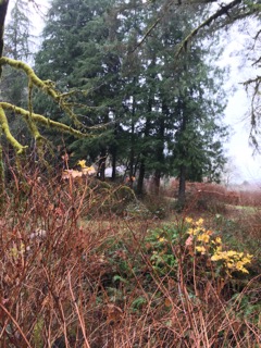
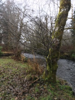
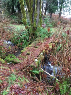
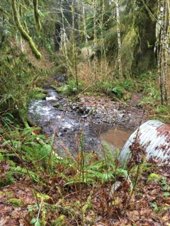
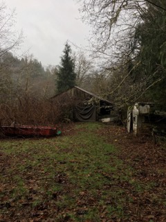
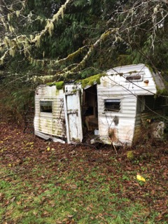
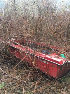
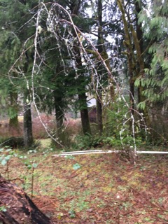
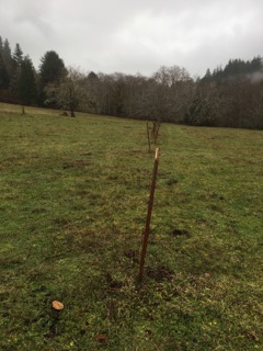
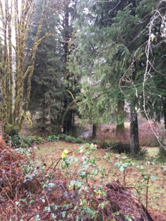
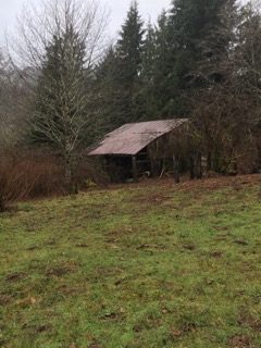
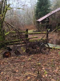
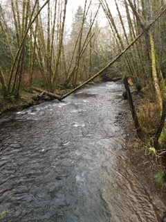
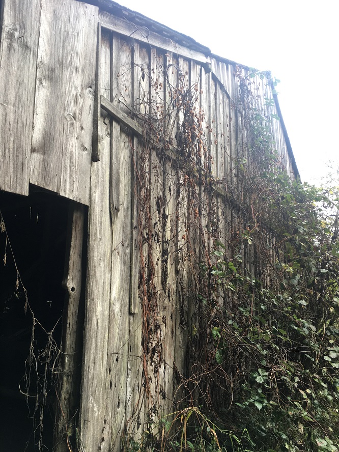
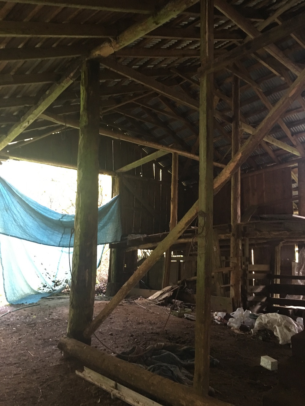
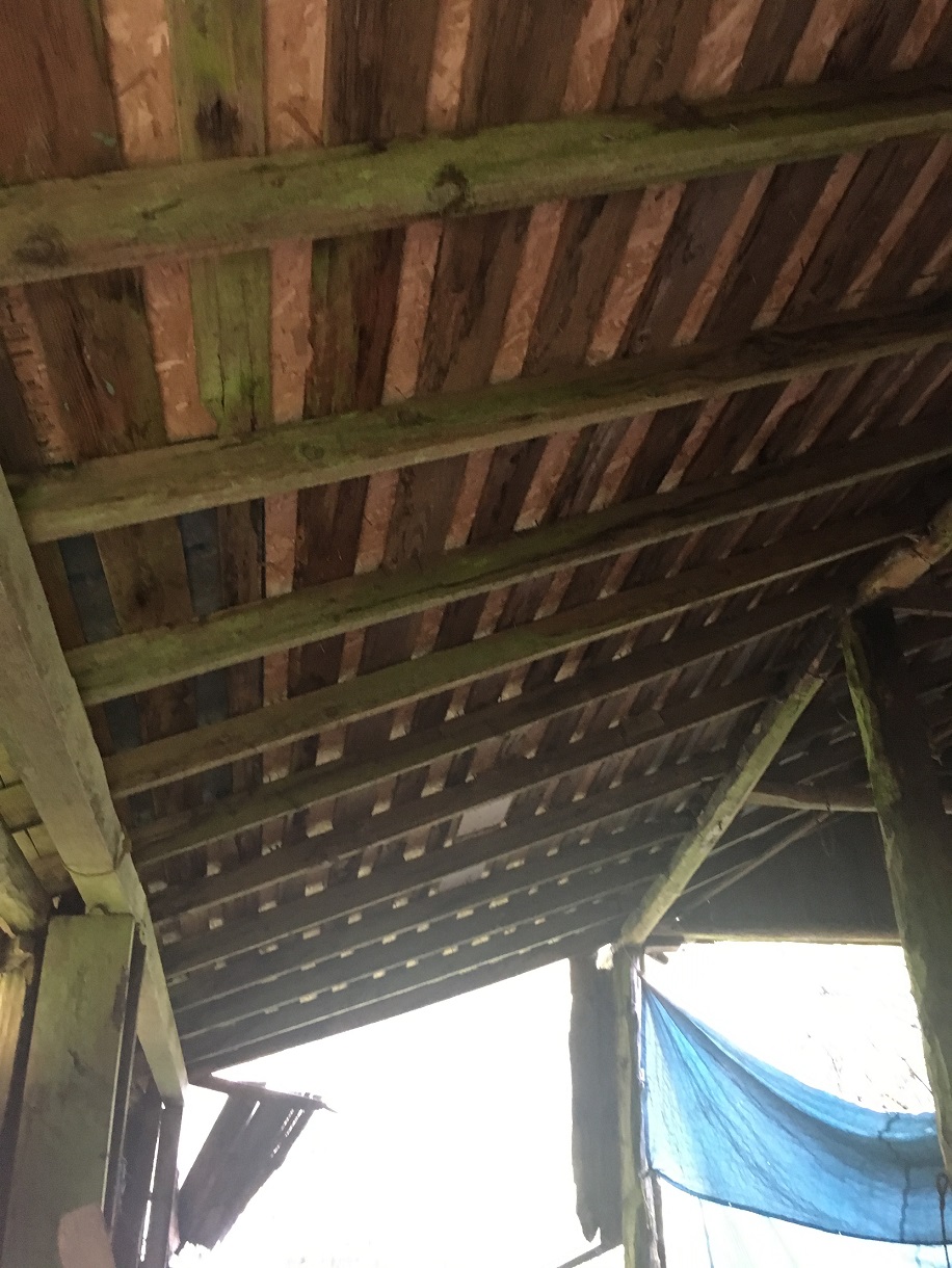
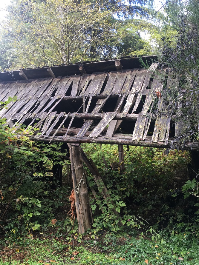
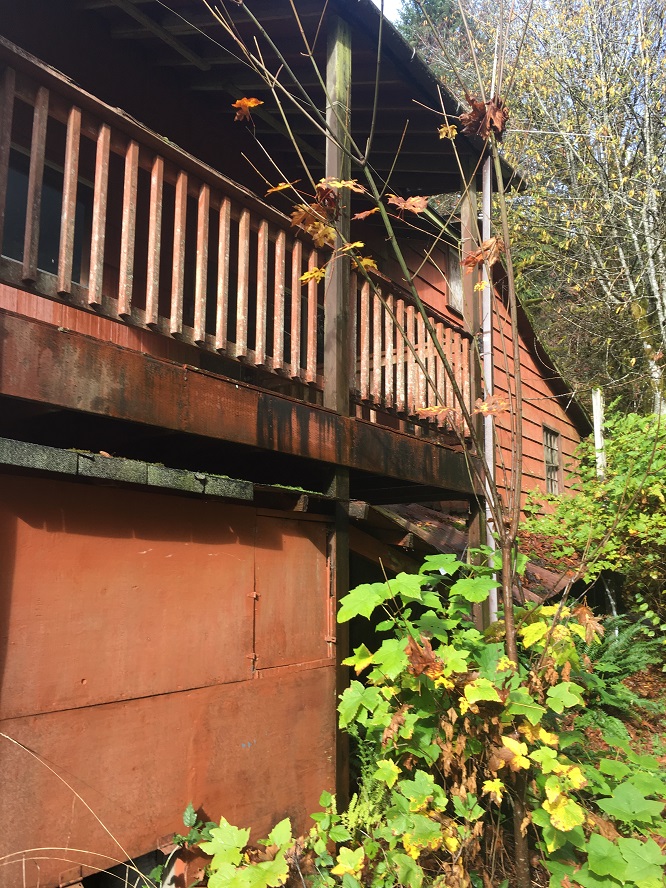
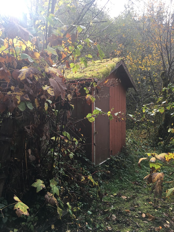
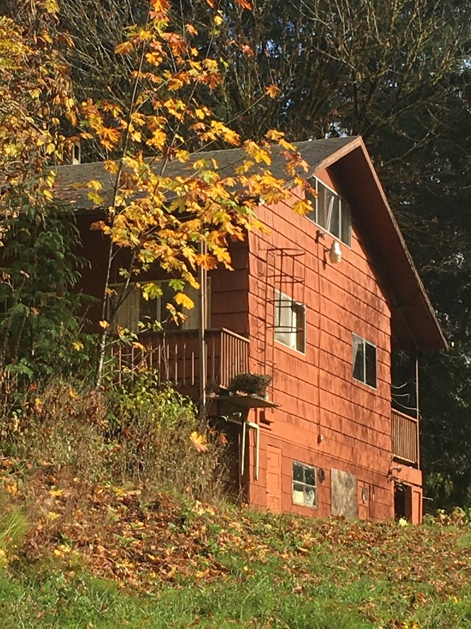
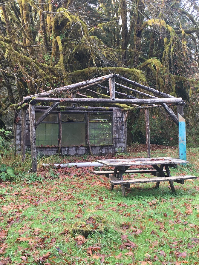
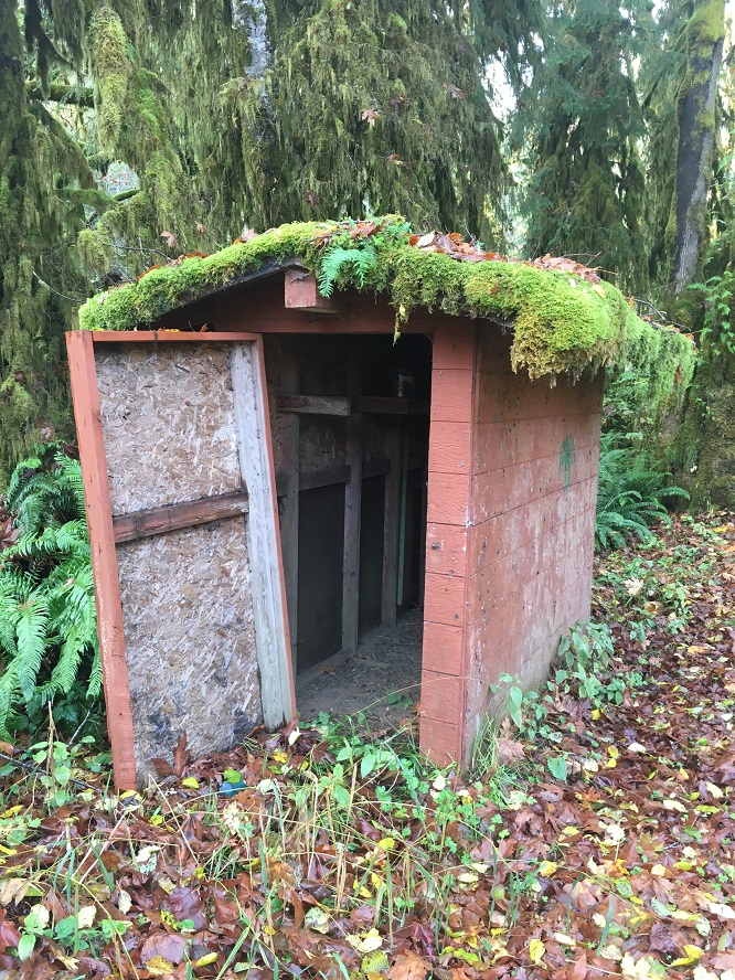
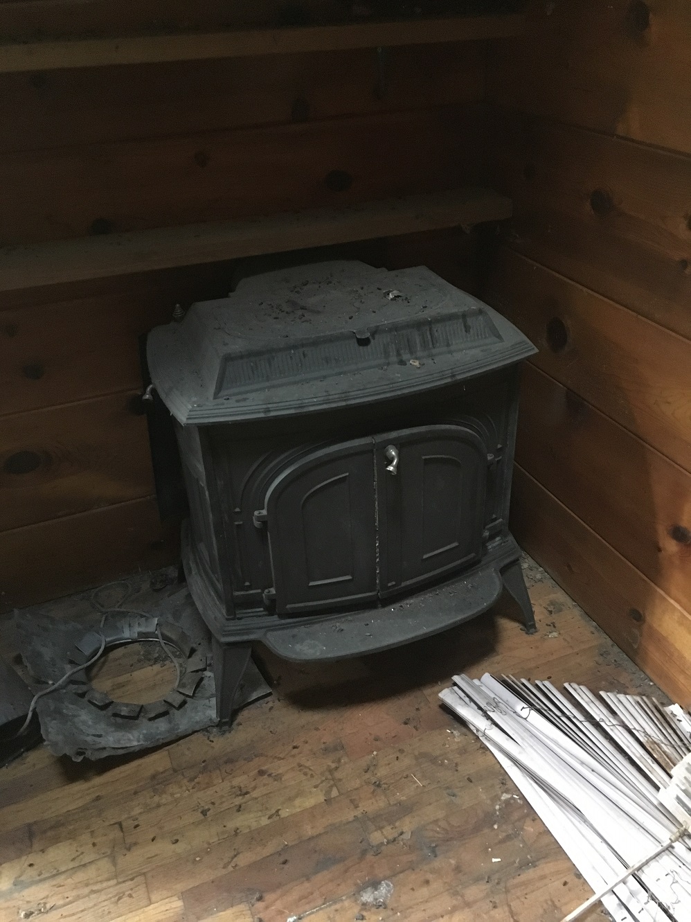
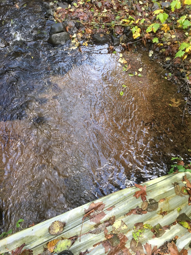
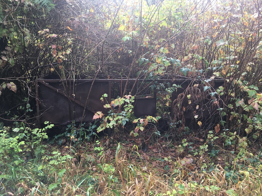
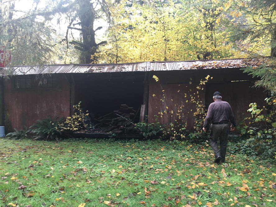
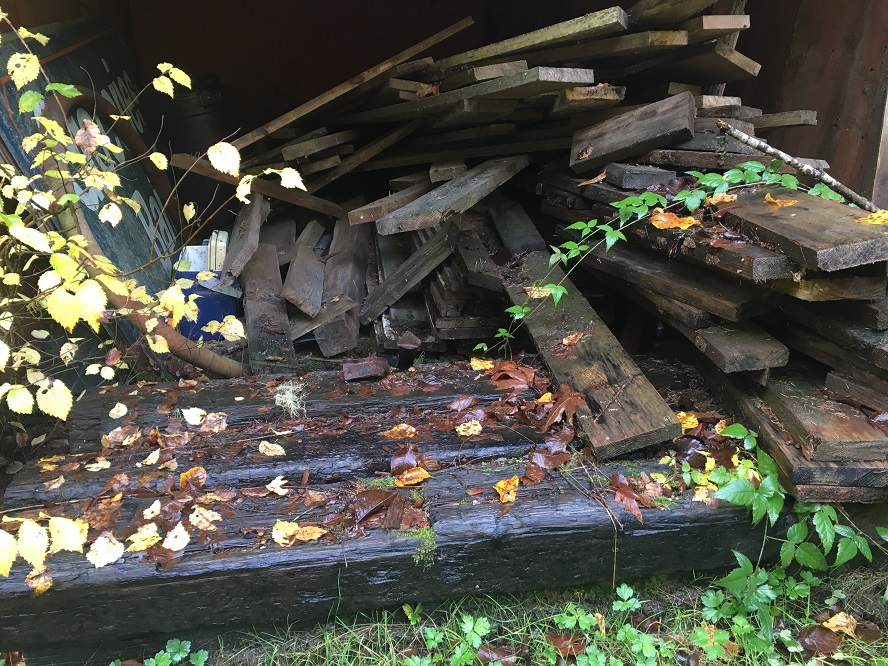
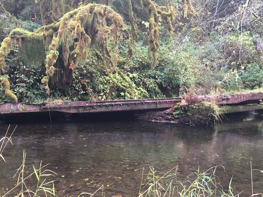
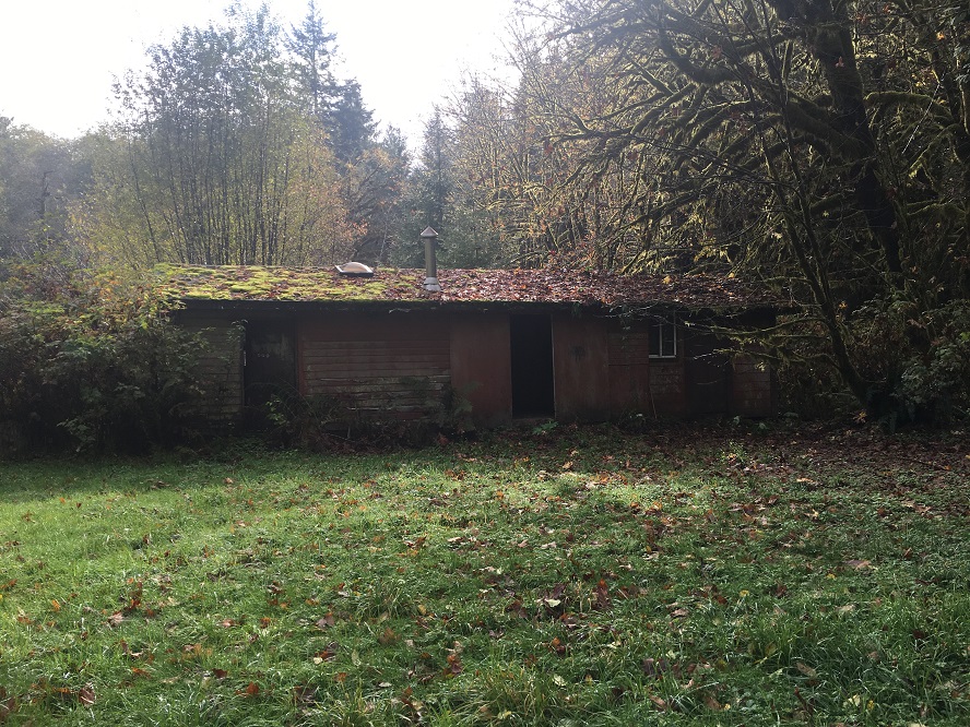
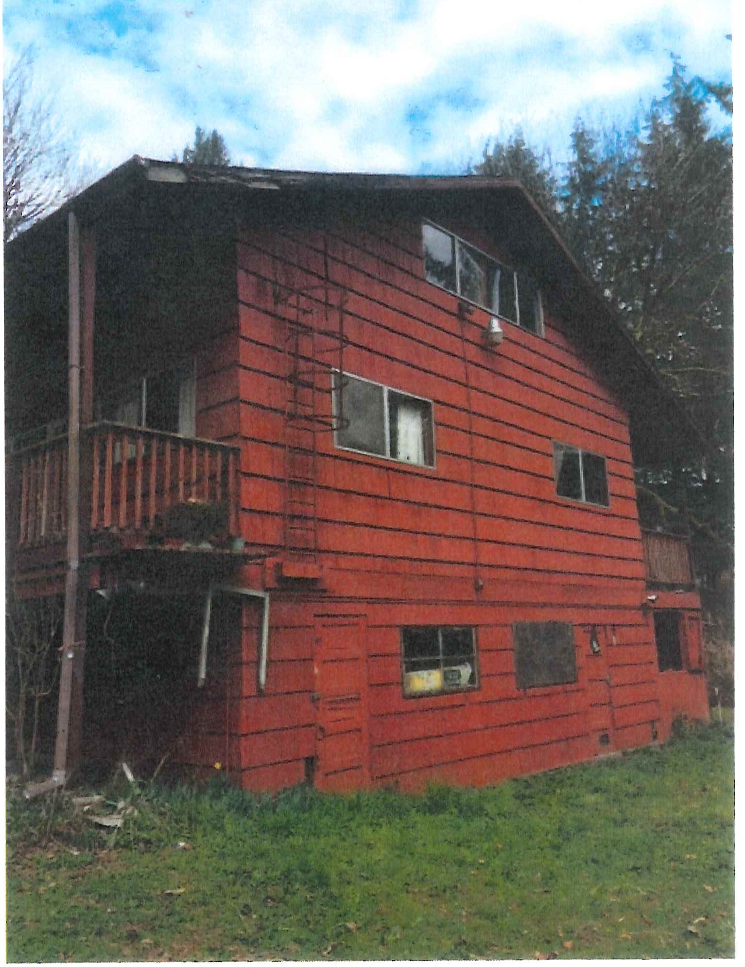
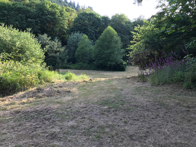
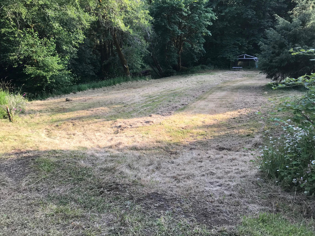
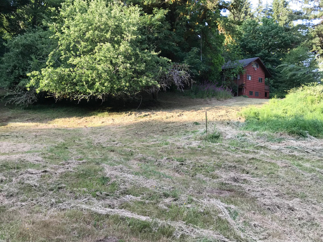
Photos of 57~60 acre tract @ 7 mile marker
|
Tenmile Creek Sanctuary |
Photos added November 7, 2018
|
|
|
Pic 1 |
Pic 2 |
Pic 3 |
| |
|
|
|
|
|
Pic 4 |
Pic 5 |
Pic 6 |
| |
|
|
|
|
|
Pic 7 |
Pic 8 |
Pic 9 |
| |
|
|
|
|
|
Pic 10 |
Pic 11 |
Pic 12 |
| |
|
|
|
|
|
Pic 13 |
Pic 14 |
Pic 15 |
| |
|
|
|
|
|
Pic 16 |
Pic 17 |
|
| |
|
|
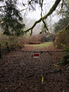
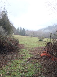
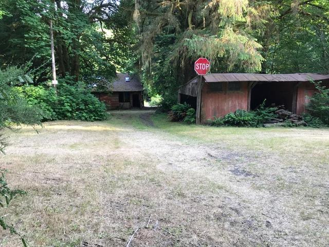
Post Mowing, July 23, 2019
|
|
 |
 |
|
| |
|
|
 |
 |
|
| |
|
|
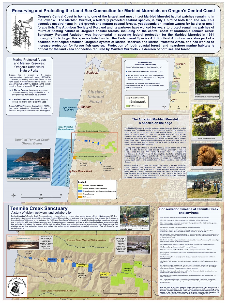
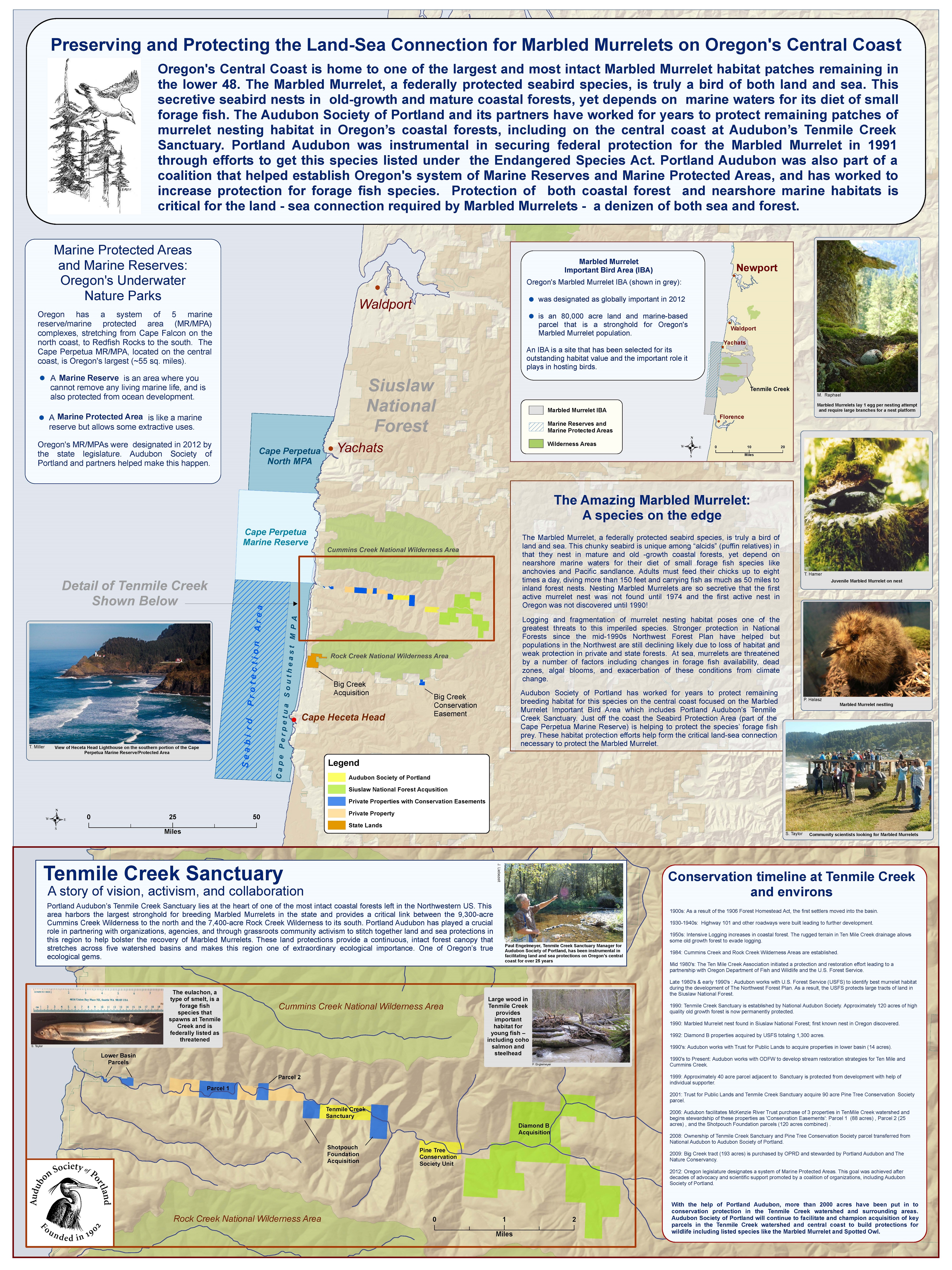
Historical timeline of land protections in Oregon’s central coast Marbled Murrelet IBA
Portland Audubon’s Tenmile Creek Sanctuary lies at the heart of one of the most intact coastal forests left in Oregon and in the entire Northwestern US. This area harbors the largest stronghold for breeding Marbled Murrelets in the state. Audubon has worked for years to help stitch together land and sea protections in this region to help bolster the recovery of the ESA listed Marbled Murrelet. In 2012, the Marbled Murrelet Central Coast IBA was successfully nominated for “global status” by the US IBA Technical Committee.
| |
- 1850s: stand replacing fire burns entire Tenmile Creek drainage leaving remnant pockets/stands and individual ancient trees.
- Early 1900s: First homesteading activity in the Tenmile Creek drainage.
- 1950s: significant logging on the property occurred but many tree patches and seed trees left.
- Early 1970s: Hans and Karin find Tenmile Creek area,
- Mid-1970s: Paul Engelmeyer stumbled upon the Tenmile Creek area on his trips to the coast while living in Eugene to recreate (fish and hike).
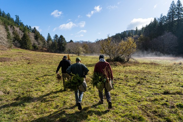
- 1980s: Paul Engelmeyer and Chuck Willer formed the Ten Mile Creek Association and organized a grassroots effort to stop timber sales (15 plots) in the Tenmile, Big creeks/Yachats watersheds. This involved training local citizens to do Marbled Murrelet surveys to document murrelet usage of areas slated for logging.
- 1984: Cummins Creek (9,090 acres) and Rock Creek (7,486 acres) Wilderness Areas established by Act of Congress.
- Late 1980s and early 1990s: Engaged with the U.S. Forest Service (USFS) during the development of the NW Forest Plan ultimately keeping Tenmile Creek off the chopping block and protecting millions of board feet throughout the Siuslaw National Forest from logging. Paul Engelmeyer provided “gang of four” maps of the best quality habitat in the Coast Range.
- 1990: 116.6-acre Tenmile Creek Sanctuary established by the National Audubon Society
- 1991: Paul Engelmeyer becomes manager of Tenmile Creek Sanctuary
- 1991: Working with U.S. Forest Service, Paul Engelmeyer found the first Marbled Murrelet nest in Oregon.
- Early 1990s: Diamond B acquisition: USFS acquire land (1300 acres)
- 1990s: Audubon, working with the Trust for Public Land, sets up a land acquisition strategy on the Hall parcels
- 1990s to present: Audubon working with ODFW on long-term project evaluating restoration (in-stream large woody debris placement) on Coho salmon and steelhead use at Ten Mile and Cummins Creeks.
- 1999: 40 acres adjacent to Ten Mile Creek Sanctuary (name of parcel?) was protected facilitated by an individual supporter after learning that this land was scheduled for development
- 2001: 89.2 acre acquisition for the Pine Tree Conservation Society in partnership with the Trust for Public Land and the Ten Mile Creek Sanctuary
- 2002: Audubon helped the Western Rivers Conservancy gather local support for the acquisition of the 1,200 acre Drift Creek / Lower Alsea River parcel. That parcel was transferred to the Siuslaw National Forest.
- Mid 2000s (need to get date): North Beamer Creek acquisition Coast range conifer (swap - USFS to acquire, found another parcel to swap for equal board footage)
- 2006: Audubon facilitates McKenzie River Trust purchase and eventual management of conservation easements in the Ten Mile Creek watershed including: Radtke/Wedekind parcel (88 acres), Willer/Clement parcel (25 acres), and the Shotpouch Foundation parcels (120 acres). Conservation easements also were purchased on 215 acres on two adjacent parcels. The total cost of the project is $1.9 million. The Shotpouch Foundation relationship was established with the help of Franz Dolp.
- 2008: Transfer of the Ten Mile Creek Sanctuary from National Audubon to Audubon Society of Portland is completed. Pine Tree Conservation Society transferred its property (89.2 acres) to the Audubon Society of Portland.
- 2009: Big creek (Renaghan tract) 193 acres was finally purchased by Oregon Parks and Recreation for $4,070,000 with funds from Oregon Watershed Enhancement Board, The Nature Conservancy, and NOAA. At one point this site was considered for construction of a nuclear power plant. Paul Engelmeyer advocated for protection of this parcel since 1988 and helped facilitate the acquisition.
- 2012: After a decade long process Oregon’s system of marine reserves and protected areas is formally designated by the state legislature. The Cape Perpetua reserve lies adjacent to the Marbled Murrelet IBA and contains a Seabird Protection Area. A coalition including Audubon Portland was instrumental in this process.
|
|
| Future land acquisition opportunities: |
|
- South Beamer Creek: 40 acres - directly to the south of the North Beamer Creek acquisition; contains some remnant old growth trees
- Big creek - Pip Cole parcel and Andy Kittle parcels (80 acres). Located 4.5 and 6 miles up main stem of Big Creek. One is a conservation easement, other is acquisition.
- Harper parcels (2 acres - important for silver spot butterfly) other is 2 acres
- Mouth of Yachats River: smaller parcel with sig. wetlands
|
|
Potential Uses of Parcels |
|
| 1. |
Retreat (Click here) |
|
| |
|
|
| 2. |
List of Oregon Coast research labs, public meeting and educationals facilities: |
|
| |
Other Facilities for public meetings and seminars:
|
|
|
| |
| |
|
|
|
|

1.jpg)